
China’s inclusion of the Russian territory of the Bolshoy Ussuriysky/Heixiazi island on the Amur River in its new map, despite the countries officially resolving the territorial dispute 15 years ago, could be a mistake, experts suggest.
The border issue had officially been settled by dividing the island between the two. Last week, the new map by China’s Ministry of Natural Resources (MNR) stirred controversy as it included disputed territories with India, Indonesia, Vietnam, and the Philippines.
The new “standard” map also showed a Russian territory as Chinese land.
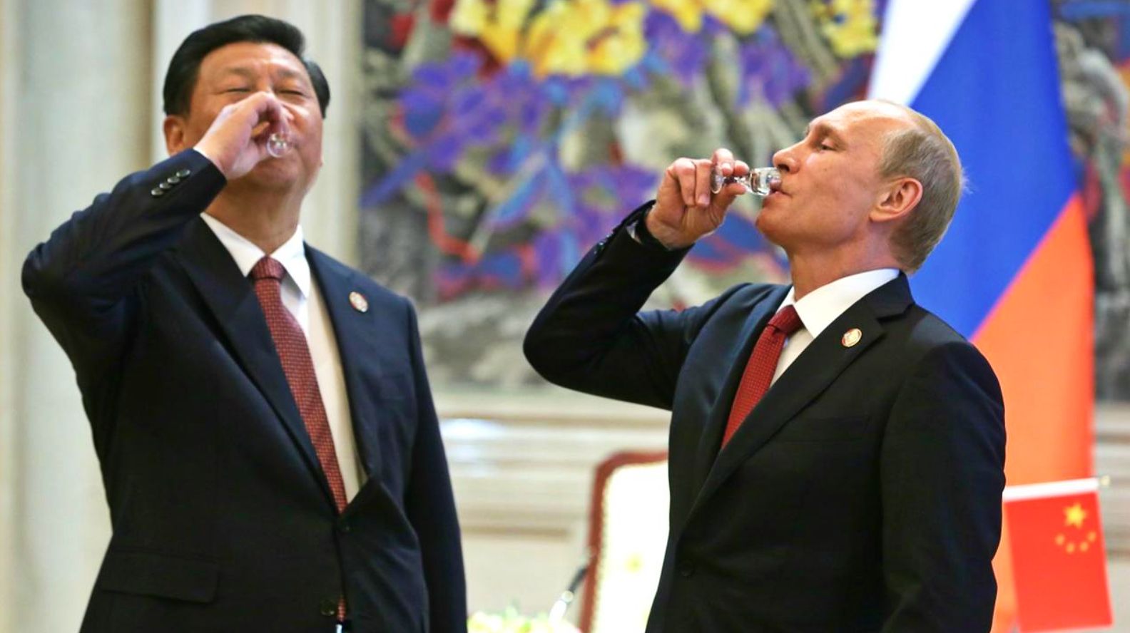
The map was pointed to be inconsistent with the current level of unprecedented politico-strategic solidarity between the two countries. Observers wondered why the People’s Republic of China (PRC) would not even spare such a tight ally of its “cartographic aggression.”
However, Russian experts say that the printing could be a mere oversight by the Communist Party of China (CPC) or an official tasked with preparing the map and that Moscow does not perceive this as a slight by its “no limits” friend.
The island, in the far northeastern part of Manchuria located at the confluence of the Ussuri and Amur rivers, had been the subject of an old territorial dispute between China and Russia.
In 2001, the two signed the Treaty on Good Neighborliness, Friendship and Cooperation. This was followed by the agreement in 2005 that partitioned the island. In 2008, a final demarcation occurred, after which both governments ratified the pact, officially settling the contesting claims.
Russia Doesn’t Think China Did It Deliberately
Russia’s Ministry of Foreign Affairs (MFA) spokesperson Maria Zakharova’s response did not indicate any rift between the two or disapproval from Moscow, and it does not perceive it as affecting their more significant bilateral ties.

“The two adhere to the unified position that the border issue between our two countries has been finally resolved. (The two countries) have repeatedly confirmed the absence of mutual territorial claims. Resolution of the borderline between Russia and China resulted from many years of efforts by both sides,” Zakharova said.
She appeared to signal to other countries locked in contesting border claims with China that territorial disputes with Beijing do not constitute a national security threat and that the PRC would be willing to compromise in such matters. “(The Russia, China border resolution is) a successful example of resolving border disputes for all world countries,” she added.
Instead, this part of her response serves as a low-key veiled attempt to undermine US efforts to ramp up an anti-China coalition with countries that have border disputes with Beijing. Moscow, too, disapproves of the QUAD and the South China Sea (SCS) alliance and, like Beijing, has often accused Washington of exploiting territorial and regional differences for its gains.
Could Be A Simple Mistake
Moscow-based foreign affairs analyst Andrew Korybko said, “It doesn’t make sense that China intended to signal its interest in reviving this resolved issue through the publication of its latest annual map.”
“(Russia and China’s) grand strategic goal towards a multipolar world order is too important for China to derail by reviving its territorial claims to the entirety of that partitioned island,” Korybko said while speaking to the EurAsian Times.
Korybko wondered how “the cartographical mistake was not caught before publication since it presumably went through at least several layers of verification.” “But it’s implausible to imagine that this was a deliberate provocation against Russia.”
Calling it a plain “mistake,” Korybko said the “simplest explanation is sometimes the most likely.” However, in another article, he recommended Beijing “quietly modify” the map in the interest of its ties with Russia.

What Was The Mistake?
This leaves the question of what was the exact nature of the mistake that led to the map being published. New maps were prepared according to the Chinese documentation and government land records at national and local provincial levels, mentioning the revised territorial boundaries following the 2008 agreement.
Even subsequent government development and infrastructure works must have been undertaken according to the new maps.
Korybko’s claim suggests that the Chinese cartographers and CPC officials tasked with the exercise possibly missed this paperwork and their government notifications announcing the new boundaries.
Another plausible explanation could be that the map released on the website was small scale, on which such minute demarcations on small territories are not visible. “Misunderstandings of a technical nature” arose as the officials did not publish a large-scale map, according to a post on a leading Russian Telegram group.
- The author can be reached at satamp@gmail.com
- Follow EurAsian Times on Google News


