

China’s release of the 2023 edition of its “standard map” has offended friends and foes in equal measure. Ahead of the G-20 summit in New Delhi, India, Taiwan, and several Southeast Asian countries have joined the chorus to condemn China’s cartographic aggression.
The Philippines President Ferdinand R. Marcos Jr. is pushing for a joint statement of the Association of Southeast Asian Nations against the latest Chinese move.
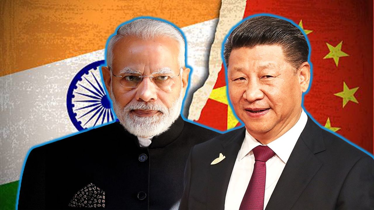
The 2023 edition of China’s “standard map,” published Monday on China’s Ministry of Natural Resources website, staked claim on the Indian state of Arunachal Pradesh and the Aksai Chin plateau as Chinese territory. It also includes part of Malaysia’s maritime area off Borneo, as well as Taiwan and swaths of the South China Sea.
The Indian Minister of External Affairs, Dr. S. Jaishankar, has already called the move “absurd” and lodged a strong protest against it.
Rejecting China’s version of the map, the Philippines Department of Foreign Affairs issued a statement: “The latest attempt to legitimize China’s purported sovereignty and jurisdiction over Philippine features and maritime zones has no basis under the international law, particularly the 1982 United Nations Convention on the Law of the Sea (UNCLOS).”


The archipelago country also reminded China to abide by the 2016 Arbitral Award that invalidated the nine-dash line and set limitations to China’s maritime entitlements.
The relations between the two countries have strained further in recent times as China’s coast guard ship has blockaded the Philippines ships trying to replenish their troops protecting the second shoal island in the South China Sea.
“Strong official statements such as this are crucial for knocking down Chinese ‘made up’ territorial and maritime claims one by one,” Dr. Pooja Bhatt, a maritime security scholar, reacted to the development.
The Chinese map showed the famous U-shaped line covering about 90 percent of the South China Sea, a source of many of the disputes in one of the world’s most contested waterways, which see more than US $3 trillion of trade passing through it.
China’s U-shaped line loops as far as 1,500 km (932 miles) south of its Hainan Island and cuts into the exclusive economic zones (EEZs) of Vietnam, the Philippines, Malaysia, Brunei, and Indonesia.
Under the leadership of President Xi Jinping, China has turned the heat on the South China Sea. It has created a Chinese maritime militia, which is a sea border management and enforcement arm, asserting China’s oceanic rights and claims. It does have a secondary warfighting role, where it does not directly take part in hostilities but undertakes surveillance, reconnaissance, and logistical roles.

The latest map includes the democratically-governed island of Taiwan as part of China’s territory. Asked about it, Taiwan’s foreign minister spokesperson, Jeff Liu, categorically denied Taiwan being part of China. “No matter how the Chinese government twists its position on Taiwan’s sovereignty, it cannot change the objective fact of our country’s existence,” Liu said at a press briefing.
Indonesia doesn’t claim any physical territory in the South China Sea but is embroiled in a dispute with China over fishing rights in the Indonesian EEZ. Its Foreign Ministry said on August 31 that depictions of territorial boundaries should comply with UNCLOS.
Malaysia also unequivocally rejected the latest map from China. “The map has no binding effect on Malaysia. Malaysia is consistent in its position of rejecting any foreign party’s claims to sovereignty, sovereign rights and jurisdiction on Malaysia’s maritime features or maritime area based on the 1979 Map,” said the statement, referring to a Malaysian map showing the territorial waters and continental shelf boundaries of Malaysia.
The 43rd ASEAN summit is scheduled in Jakarta, Indonesia, from September 5 to 7. The ASEAN countries are in talks to release a joint statement regarding the unilateral
Vice Admiral AB Singh, a retired Indian Navy officer who headed both Eastern and Western Naval Command, said: “Outright rejection of the claim is essential, and the Indian text appears to focus on the Indo-China land border, the maritime dimension appears to be completely missing in our statement. It is the larger problem of the world’s inclusive ASEAN countries – not bilateral between India and China.”
The Chinese attempt at redrawing the map has not left even Russian territory untouched. Moscow and Beijing resolved their century-old boundary disputes two decades ago. The Parliaments of both countries ratified the agreement in 2005, but China’s new map has brought renewed scrutiny to the deal.
The ownership of Bolshoy Ussuriysky Island, or Heixiazi, located at the confluence of two border rivers, is legally shared between the two countries. But the Chinese map depicts the entire 135-square mile of the island into its easternmost territory. The Kremlin has not commented on the map.
However, Beijing said India should stop hyperventilating on the map and call it a routine move that is done according to local law to assert its sovereignty.
- Ritu Sharma has been a journalist for over a decade, writing on defense, foreign affairs, and nuclear technology.
- She can be reached at ritu.sharma (at) mail.com


