
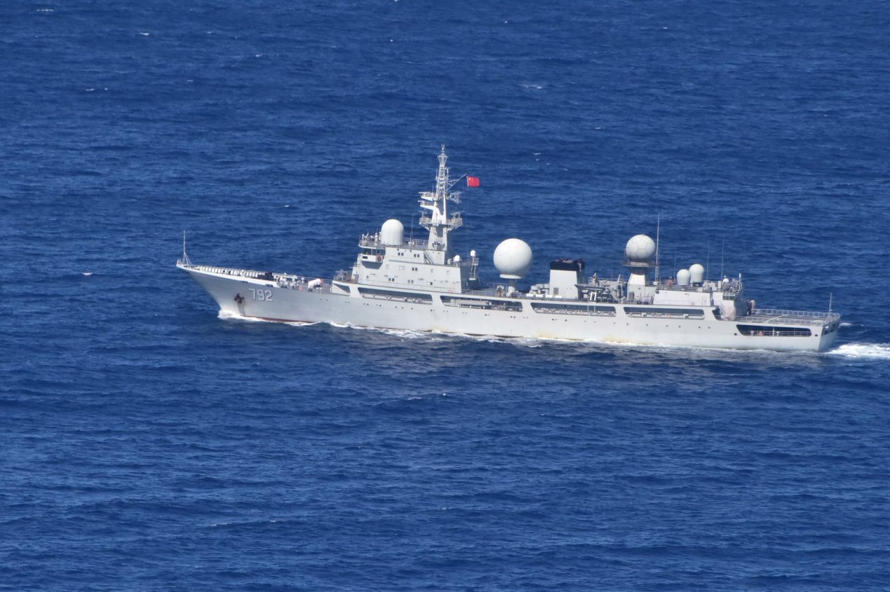
China has officially disclosed a new baseline outlining its territorial claims in the northern part of the Gulf of Tonkin, an area shared with Vietnam.
The announcement, made through a statement on the foreign ministry’s website earlier this month, introduces seven base points that, when connected, form the baseline for Beijing’s sovereignty claims in the Gulf of Tonkin, known as Beibu Gulf in China.
The Gulf of Tonkin, situated off the coasts of Tonkin and South China, has been a historically significant point of maritime demarcation between China and Vietnam in the northwestern South China Sea.
In 2004, China and Vietnam reached a deal outlining the boundaries of their territorial sea, exclusive economic zone, and continental shelf in the Beibu Gulf.
Both sides saw the agreement as fair, marking China’s inaugural maritime boundary. Despite this agreement, maritime disputes persisted due to the remaining ambiguity regarding the boundary facing the sea.

Beijing has said that the lingering concerns would now be addressed through a fresh delimitation process. However, the timing and reasons behind China’s decision to introduce this baseline at this juncture remain unclear.
In an attempt to allay concerns, the Chinese Foreign Ministry asserted that the newly delineated baseline would not negatively impact Vietnam’s interests or those of any other nation.
Instead, they argued that it would foster international maritime cooperation between China and relevant countries and contribute to the overall development of the global maritime industry.
According to the Chinese Foreign Ministry, the announcement of the territorial sea baseline was an essential step in exercising national sovereignty and jurisdiction.
The statement also noted the existence of different management regulations and usage plans for internal waters, territorial seas, and exclusive economic zones, which emphasize the need for clearly defined baselines to facilitate the standardized and scientific use of the sea by coastal provinces and regions.
Further, the ministry contends that the delineation of the baseline for the northern part of the Beibu Gulf was integral to China’s broader efforts to improve territorial sea baseline delineation.
This move, according to Beijing, aimed to support the economic development of provinces and regions along the northern part of the Beibu Gulf, including Guangxi, Guangdong, and Hainan.
What Is Territorial Sea Baseline?
The territorial sea baseline serves as the foundation marker for coastal nations to establish their maritime jurisdiction claims and also signifies the outermost boundary of their national land territory.
According to the United Nations Convention on the Law of the Sea (UNCLOS), coastal states are entitled to a territorial sea width of 12 nautical miles (22.22 km), a 200-nautical mile exclusive economic zone (EEZ), and a continental shelf extending up to 350 nautical miles.
However, the Beibu Gulf, a semi-enclosed bay surrounded by mainland China, Vietnam, and China’s Hainan Island, has a maximum width of no more than 180 nautical miles.
This circumstance leads to a complete overlap of the exclusive economic zones and continental shelves of both countries within the Gulf, as outlined by the convention. Consequently, the entire Gulf is subject to overlapping claims by China and Vietnam.
The Chinese government had previously announced the geographical coordinates of some of its territorial sea baselines and points on two occasions.
The first announcement came in 1996, revealing the baseline of the inland territorial sea and the coordinates of 77 territorial sea points in the Xisha Islands. In 2012, China declared the baseline of the Diaoyu Islands and associated islets, along with the coordinates of 17 territorial sea points.
With this recent delineation, China has disclosed all its territorial sea baselines except for the portion adjacent to the Liaodong Peninsula in the Bohai Sea, as per the Chinese media. Incidentally, this third announcement also adds to the efforts to assert China’s maritime claims in South China.
Concerns Regarding The New Baseline
Vietnam and China inked a clear demarcation line agreement for the Gulf of Tonkin back in 2000, which should buffer any substantial blow to Vietnam’s economic interests from the fresh baseline, provided Beijing doesn’t push for renegotiation.
However, experts have flagged concerns about the distance of some base points from the coast, raising doubts about the new baseline’s compliance with UN maritime law and its potential to complicate various maritime activities.
Shashank S. Patel, a Geopolitical analyst closely monitoring activities in the Indo-Pacific, informed EurAsian Times, “Gulf of Tonkin/Beibu Gulf witnessed multiple boundary agreements between China and Vietnam in three decades from 1974 to 2004 devoting more than half of the waters to Vietnam. Declaring a new baseline seems excessive on the map which will further impact the EEZ and contagious zone of Vietnam providing major fishing zones to China.”
He said, “China’s new unilateral demarcation of the baseline is an attempt to limit Hanoi’s claims over their exclusive zones & to trim the high waters. China will get more access to the marine boundaries to tackle Western influence and assertiveness in tackling Southern part of the Gulf of Tonkin.”
“The new baseline will provide more than 60% water to Chinese authorities, a gross violation of UNCLOS in the territorial sea. May Vietnam will not escalate this issue at the highest levels but not doing so will impact its fishing rights, supply chains, and sea lanes in the coming days,” he added.

Patel also highlighted, “As China will not limit its misadventures in the South China Sea due to its ancient notion of controlling all the waters, the Gulf of Tonkin is one of the pins punched as per their self-centered verdicts.”
Additionally, the new baseline could hamper freedom of navigation, scientific research, cable and pipeline laying, and island reclamation efforts. Despite this, Hanoi has remained mum on China’s move.
Patel noted, “If Vietnam, on the lines of the Philippines, took the matter for arbitration, China would again reject the verdict, saying it illegal, null, and void. The matter of the fact is that the median line between China and Vietnam is being demarcated earlier, the second step of China will be to nullify it. It will give them more area of contention with Vietnam claiming exclusive economic zones in the Gulf of Tonkin.”
- Contact the author at ashishmichel(at)gmail.com
- Follow EurAsian Times on Google News


