It has been 40 years since the Indian Army occupied Siachen Glacier in a well-executed Operation Meghdoot that took the Pakistan Army by surprise in 1984.
At one point, there were talks about converting the Siachen (the valley of roses) into a ‘Peace Park,’ but the intractable ties between the two nuclear-armed neighbors have ensured that the proposal has now been buried deep.
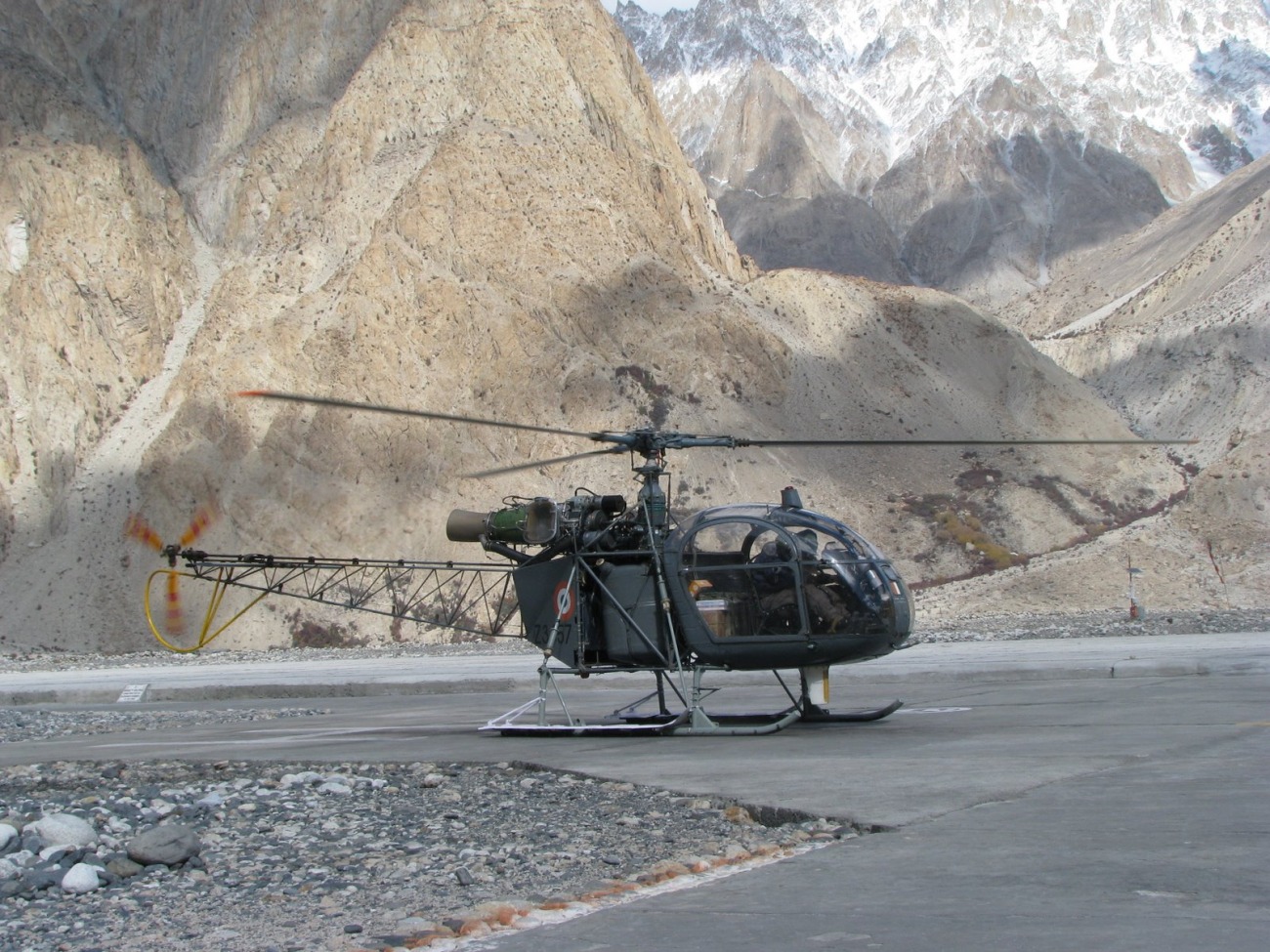
Siachen, known as the ‘Third Pole,’ is the world’s highest glacier outside the north and south poles. Battles regularly occur at altitudes greater than 20,000 feet, making the Siachen glacier the “world’s highest battleground.”
Siachen sits between two disputed boundaries for India—with Pakistan and China—and has been one of the tripwires for war between the two countries.
For long, international relations experts have exalted the lack of strategic importance of Siachen Glacier. South Asian Security expert Stephen P. Cohen described the Siachen conflict as “a struggle of two bald men over a comb.” This resonated with many Indian experts as well.
Prof. Srinath Raghavan said: “For a start, it is claimed that continued occupation of the glacier is vital to the defense of Ladakh, including Leh. On the contrary, Siachen is hardly suited to being a launchpad for a major Pakistani offensive into Ladakh. It would be a logistical and operational nightmare to attempt such an attack.”
In 2016, Prof. Happymon Jacob of Jawaharlal Nehru University suggested in an article that Siachen should be made “An International Destination for Glacial Research and Other Scientific Experiments.”
In 2005, the then prime minister, Manmohan Singh, while speaking to soldiers posted at the Glacier, observed that it was time to convert Siachen from a point of dispute to a “symbol of peace.”
Experts had proposed converting the Siachen Glacier into a Peace Park as a resource-based conflict management strategy that could provide an exit strategy for the armed forces and boost eco-tourism in the region.
There have been 12 rounds of talks between the two arch nemeses and the two countries, and while resolution at one point seemed achievable, the distrust between the two countries has made it a distant dream now.
The talks commenced in 1986 and were terminated by the Kargil conflict in 1999. They gave way to the Composite Dialogue Process in 1997 (it only commenced in 2004), which mandated that talks be held every year. The effort was undone by the Mumbai terror attacks in 2008. The 12th round of the talks took place in 2012.
Talking about the probability of a peace park in Siachen, Lt. Gen Subrata Saha (retired) told the EurAsian Times: “Peace with whom? China or Pakistan or both? Siachen, the ‘Wild Rosé, abuts the strategic confluence of the two adversaries of India…and that too across the territory of India that is illegally occupied by them. The idea of a peace park is too far-fetched!” Lt. Gen commanded a Company in Siachen when the conflict in the Himalayas started.
But the conflict is now frozen, and it is highly unlikely that the Indian Army will give away its advantage in the region. A demilitarised Siachen will benefit both Pakistan and China, developing a contiguous region from Gilgit-Baltistan in the west to the Karakoram Pass and Aksai Chin in the east. This continuity facilitates free movement and communication between these regions.
Additionally, it will provide security and depth to the Shaksgam Valley, which is important for China. The extensive rail, road, and oil pipeline network passing through the Shaksgam Valley from Pakistan’s Gwadar Port to Kashgar in China’s Xinjiang Province is a crucial part of China’s strategic interest. India is unlikely to give up the opportunity to keep an eye on China’s link to Pakistan.
Siachen – The Valley of Roses
The Siachen is located on the line dividing Indian-held Ladakh and the Pakistani-controlled Northern Areas of Kashmir, the Siachen Glacier region covers less than 1000 square miles.
Lying between the Karakoram and Zanskar mountain ranges at the junction of Pakistan, India, and China, the Siachen Glacier is a high-altitude area home to world-class mountaineering sites, including the second-highest mountain in the world, K2.
The Siachen has been described as “a 46-mile river of slow-moving ice surrounded by stupendous towers of snow,” where “human habitation is neither possible nor does it exist.” The Siachen’s waters feed the Nubra River, which flows into the Shyok River, eventually joining the Indus upstream of the Skardu River.
A legacy of British rule, the Siachen dispute stems from both countries staking claims on Siachen. But unlike Kashmir, the area is not inhabited.
The Indian Army launched Operation Meghdoot on April 13, 1984, and the glacier had a permanent presence of troops thereafter.
In 1988, then Indian Prime Minister Rajiv Gandhi, in his Independence Day speech, declared that ‘India is one, from Karakoram to Kanya Kumar,’ extending the northern boundaries of India from Kashmir to Siachen Glacier.
Between 1984 and 2003, adding to the survival fight in sub-zero temperatures, the regular artillery exchange has been the bane of existence for both the Pakistan and Indian troops. The woes of Indian troops were manifold as they were sitting on heights.
While the issue has been a thorn in the ties between the two countries since independence, the Siachen conflict did not take shape unless it came to light that Pakistan was encouraging mountaineering expeditions to the region.
Most foreign climbers accessed the peaks from the Pakistan-controlled Bilafond Glacier, as there were no roads from the Indian-controlled Nubra Valley to the mouth of the Siachen Glacier.
In 1978, Colonel Narendra ‘Bull’ Kumar, one of India’s foremost mountaineers, informed Lt General M L Chibber (retd), then the Director of Military Operations, that while Pakistan was allowing international mountaineers to climb various peaks in the Karakoram, while the Indian Army soldiers were also not visiting the region.
The Indian Army, as part of solidifying its control of the Glacier, organized treks for civilians beginning in 2007. The move peeved Pakistan as expected, which termed it India’s “tourism” in “disputed territory.”
Photos from 2008 as I undertook #Siachen Trek organised by the Army. Saw the Siachen Pioneers in action. @iafmcc @adgpi #highestbattleground @THEEURASIATIMES pic.twitter.com/MApFmhhrwh
— Ritu Sharma (@ritu86sharma) April 1, 2024
The author was part of the 2008 trekking group that trekked to Camp III of Siachen Glacier. Despite the Indian Army occupying the heights for over two decades, the conflict zone’s inhospitability cannot be discounted.
Siachen Glacier & Water Wars
Adding to the complexity of the conflict is the increasing water woes in the Indian subcontinent.
The Siachen Glacier feeds into the Nubra River that merges with the Shyok, the ‘river of death,’ which in turn joins the 3000 km long Indus River, which flows into Pakistan. With water becoming scarce in South Asia and casus belli for wars in the future, New Delhi is unlikely to give up control of the Siachen Glacier.
- Ritu Sharma has been a journalist for over a decade, writing on defense, foreign affairs, and nuclear technology.
- The author can be reached at ritu.sharma (at) mail.com
- Follow EurAsian Times on Google News


